Ambar st. 2381
Tel: +52 33 36 473732
Tel: +52 33 36 473732


Projects
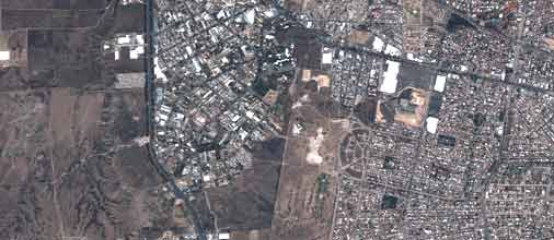
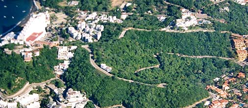
Natural Resources and Agriculture
- Natural resources surveys
- Forest Inventory
- Monitoring, assessment, reporting and verification
- Green House Gases inventories
- Inventory and assessment of fuel in forests
- Deforestation assessment
- Forest managment plans
- Urban forest census
- Reforestation
- Watershed analysis
- Wetlands inventories
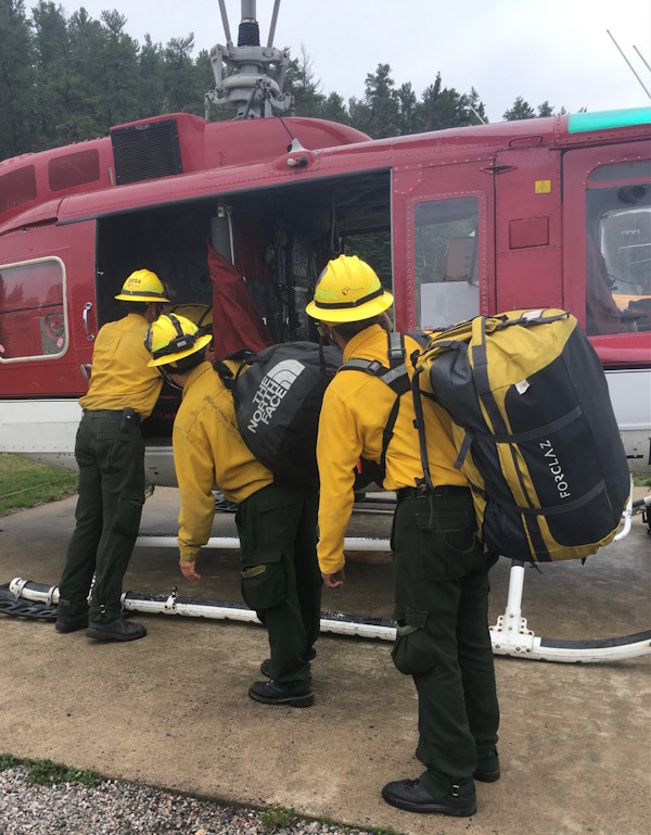
Integrated Wildfire Management
- Prevention and control of wild fires
- Wildland Firefighting
- Specialized Training in Fire Management
Environment
- Geographic information systems
- Environmental impact assessment
- Zoning
- Geomatics
Georeferencing and statistical and geospatial software development
- Sampling
- Surveys
- Remote Sensing
- Photogrammetry
- Lidar Technology
- Information Systems Development
- Geospatial databases
- Scanning and managements documents
- Data conversion
- Maps and cartography
- Scanning large volumes of documents related to databases and GIS
Experience in high-impact projects:
- National Forest Inventory and Soil, every year from 2007 to 2018 for the National Forestry Commission. More than 15,000 dasometric sampling plots comprising 18 states of Mexico
- Registration, update, Scanning and Integration of records of a national program for agriculture (PROCAMPO) for SAGARPA for more than 4.2 million beneficiaries in 687 offices in all states of the country